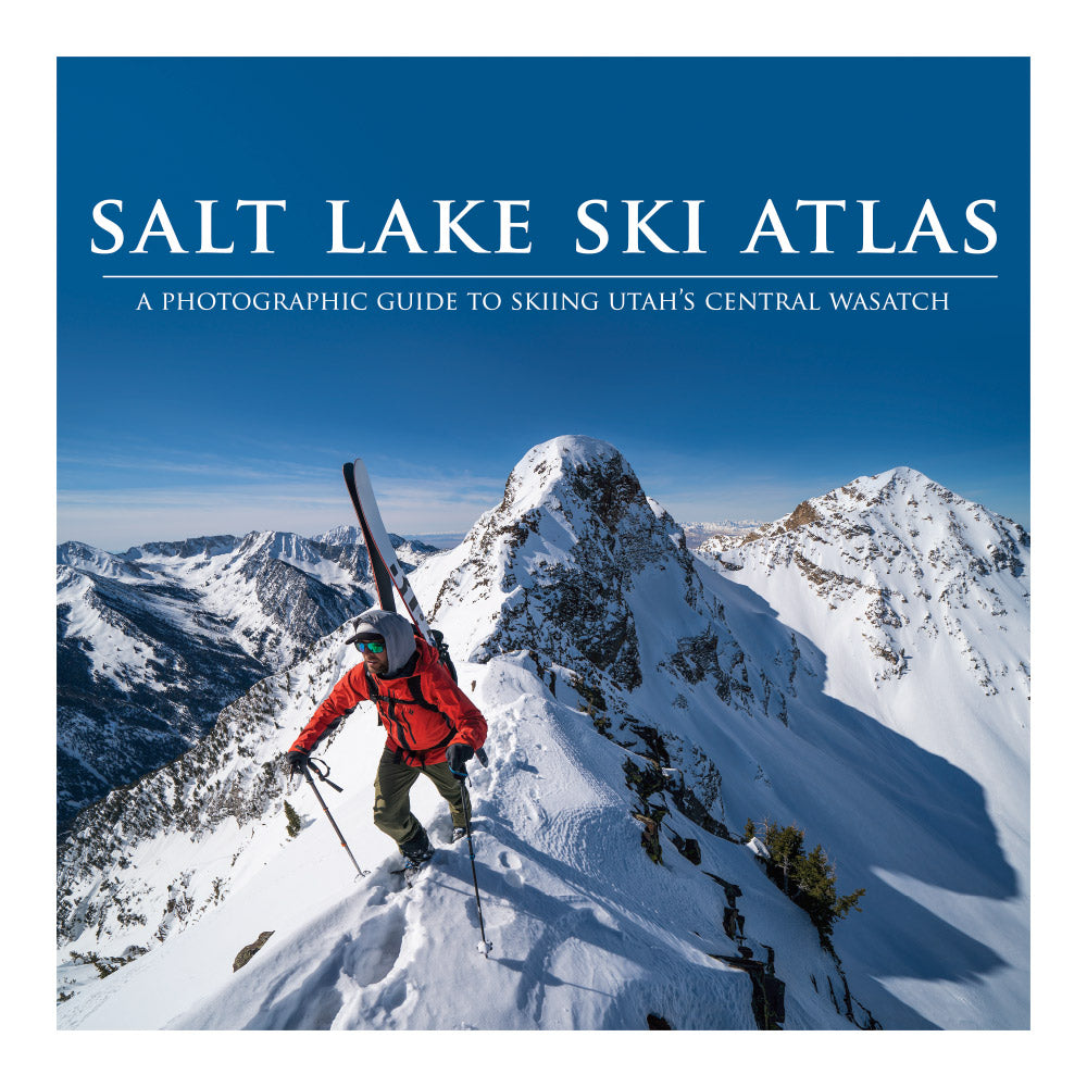
Salt Lake Backcountry Skiing Atlas
A photographic guidebook to backcountry skiing around the Central Wasatch, and Salt Lake City, Utah.
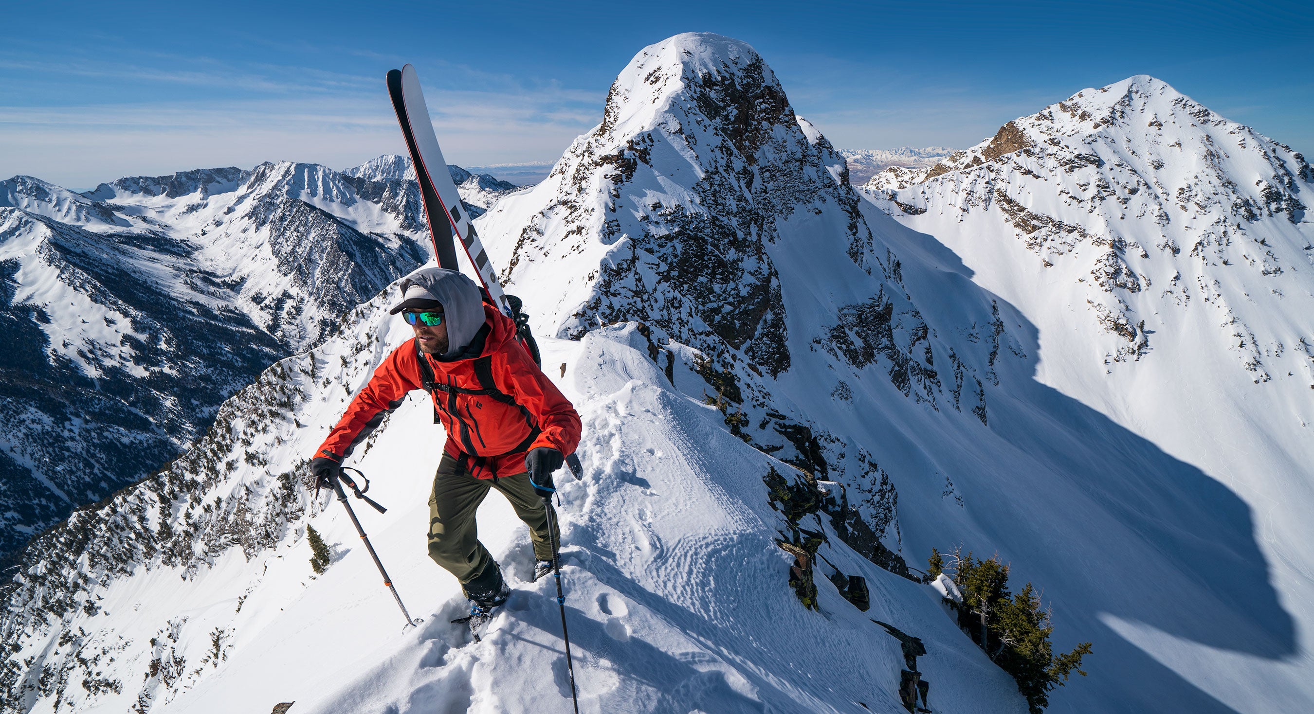
Salt Lake Backcountry Skiing Atlas
-
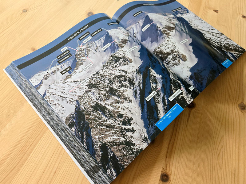
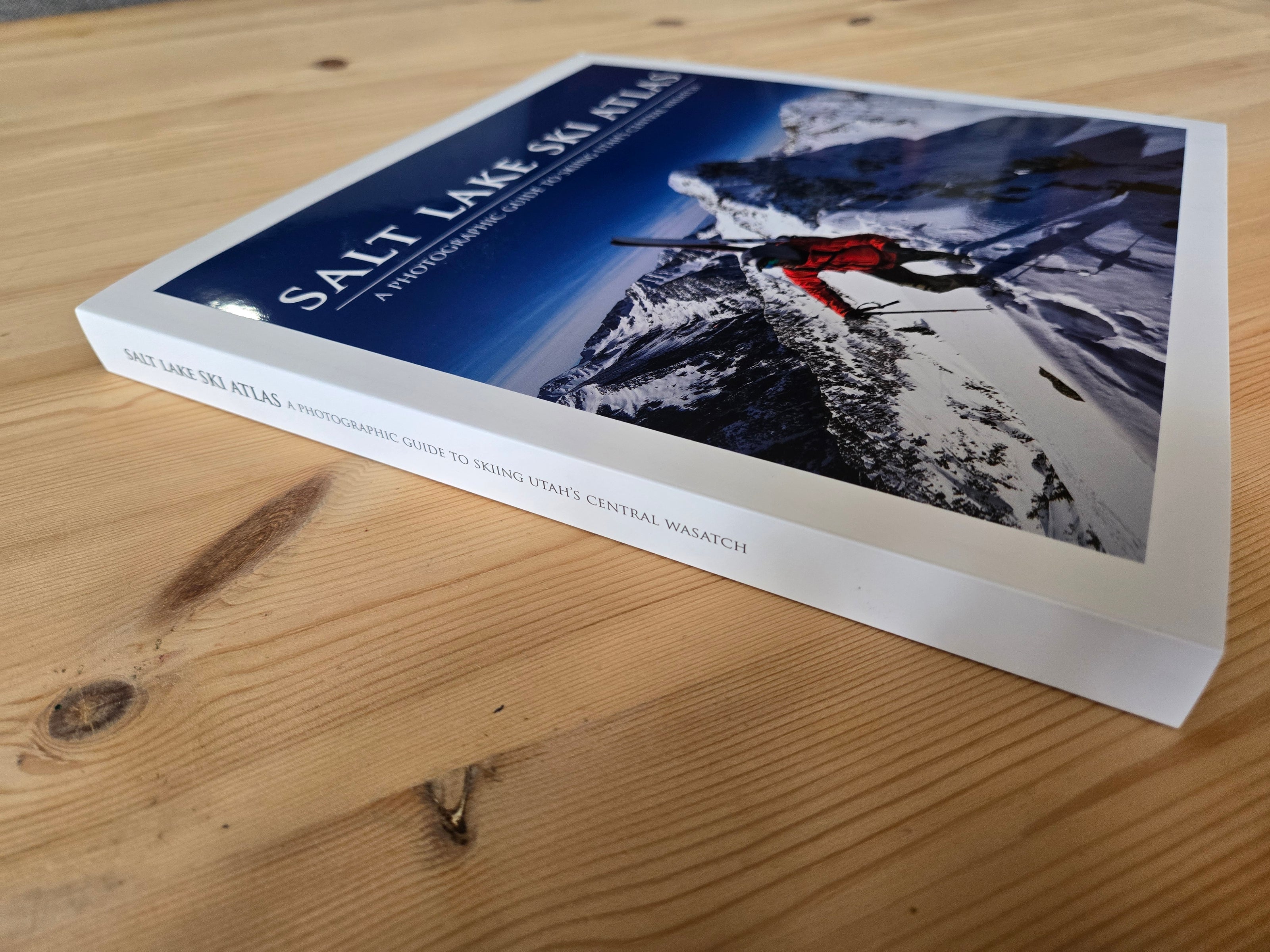
A full color, large format (10x10), 370+ page, paper-back photographic guide to some of the best backcountry skiing in the Salt Lake City area. This book is an outstanding visual aid to help you decide where to ski.
-
With abundant snowfall and diverse terrain, the Central Wasatch area offers options for all kinds of backcountry skiers. Use this guide to plan your next adventure or for flipping through to daydream on those hot, hazy days, it's got you covered.
-
This backcountry skiing guidebook for the central Wasatch mountains near Salt Lake City, Utah covers from Interstate 80 south to Mt. Timpanogos.
-
This book includes trailheads, snowmobile routes, maps, and over 600 ski routes to plan your next backcountry ski trip. Uphill routes are not included in this book as it would have pushed it outside our production budget. However we will be selling an online companion map that will include uphill routes. Even still, the book equips you with all the key resources to plan your next backcountry skiing adventure.
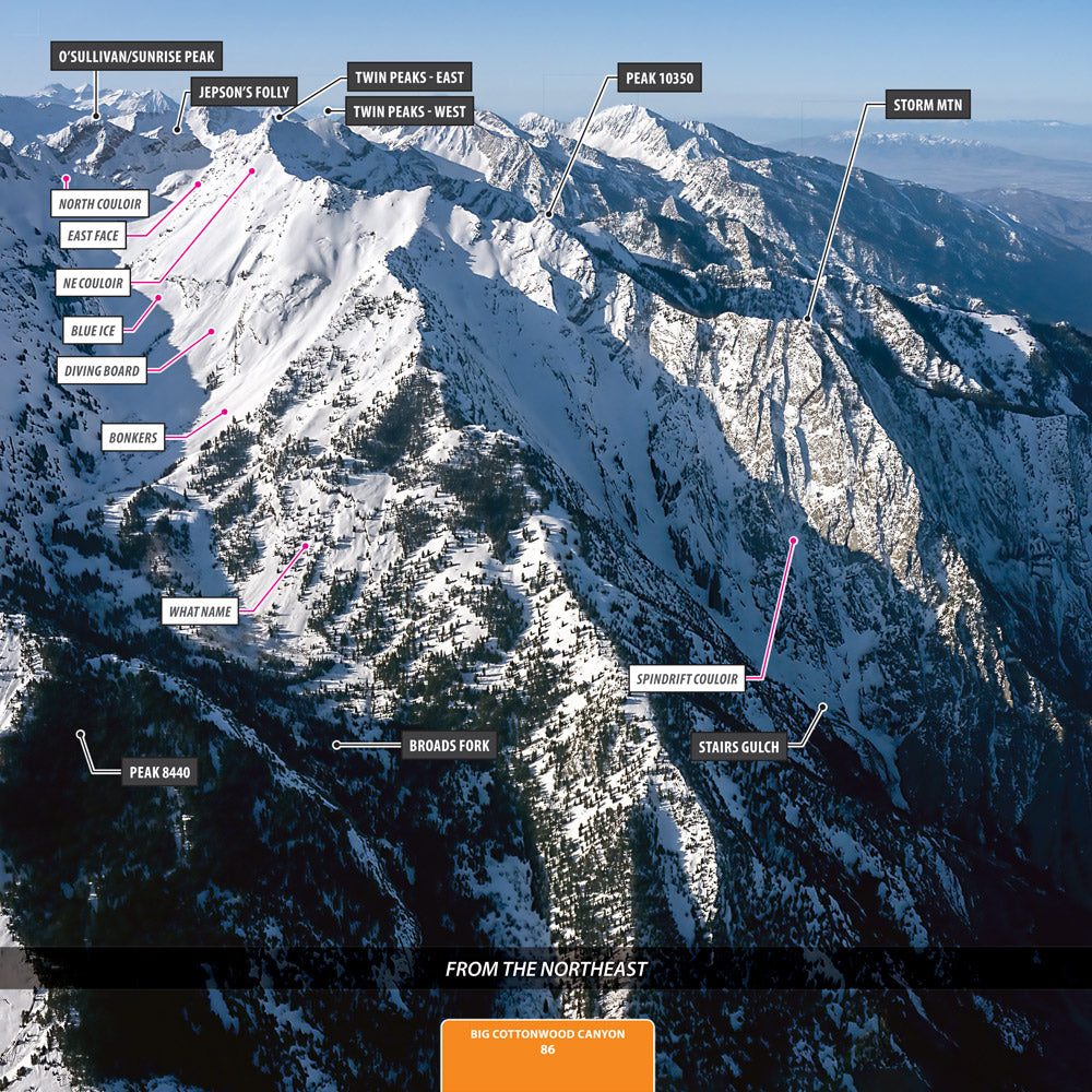
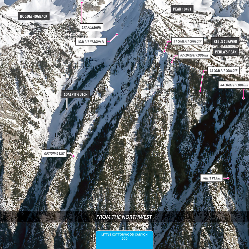
Features high quality aerial photos of the Salt Lake Backcountry including:
-
Af Twin Peaks - East
Af Twin Peaks - West
Airplane Peak
Albion Basin
Alexander Pass
Alta Ski Area
American Fork Canyon
Ant Knolls
Alexander Basin
Baker Pass
Barushka
Beartrap Fork
Bells Canyon
Bells Cleaver
Big Water Peak
Bighorn Peak
Bomber Peak
Bonanza Benchmark
Bonner Hollow
Bowman Fork
Box Elder Peak
Box Elder South
Box Elder South Peak
Broads Fork
Burch Hollow
Burnt Hollow
Butler Fork
Big Water Gulch
Box Elder Se Peak
Brighton
Cabin Ridgeline
Cardiac Ridge
Cardiff Fork
Cardiff Pass
Cardiff Peak
Caribou Basin
Chicken Shit Ridge
Chipman Peak
Church Fork
Church Fork Peak
Circle All Peak
Coalpit Gulch
Catherine Pass
Clayton Peak
Davenport Hill
Days Fork
Deaf Smith Canyon
Deer Valley
Devil’s Castle
Dromedary Peak
Dry Creek Canyon
Dry Hollow
Dutch Draw
East Pass
Ecker Hill
Elbow Fork
Elk Point
Emma Ridge
Empire
Enniss Peak
Eagle Rock
False Flagstaff
False Pioneer Peak
Fantasy Ridge
Ferguson Canyon
Flagstaff Mtn
Forgotten Peak
Gargoyles
Gobblers Knob
Grandeur Peak
Grizzly Gulch
Guardsman Pass
Halls Crossing
Heughs Canyon
Hidden Canyon Saddle
Hidden Peak
Hobbs/triangle Peak
Hogum Fork
Hogum Hogback
Honeycomb Canyon
Honeycomb Peak
Hounds Tooth
Jepson’s Folly
Jupiter Hill
Kessler Peak
Lake Peak
Lambs Canyon Pass
Lavina Creek
Lightning Ridge
Lime Canyon
Little Cottonwood Canyon
Little Superior
Little Water Peak
Little Water Gulch
Lone Peak
Lower Mule Hollow
Lundeen Creek
Major Evans Gulch
Mars Hill
Mary Ellen Gulch
Maxfield Basin
Maybird Gulch
Mcdonald Draw
Mill A Gulch
Mill B Pass
Mill B South Fork
Mill B North Fork
Mill Canyon Peak
Mill F East Fork
Miller Hill
Mineral Basin
Mineral Fork
Monte Cristo
Montreal Hill
Mountain
Mt Aire
Mt Baldy -
Mt Evergreen
Mt Olympus
Mt Raymond
Mt Superior
Mt Timpanogos
Mt Timpanogos - South Peak
Murdock Peak
Millvue Peak
Mt Millicent
Mt Tuscarora
Mt Wolverine
Neffs Canyon
No Name Baldy
North Fork Deaf Smith
North Timpanogos
Norths Fork
O’sullivan/sunrise Peak
Park City
Park City Ridgeline - South
Patsey Marley
Patterson’s Ridge
Peak 10224
Peak 10321
Peak 10009
Peak 10059
Peak 10121
Peak 10149
Peak 10173
Peak 10321
Peak 10350
Peak 10420
Peak 10481
Peak 10491
Peak 10495
Peak 10561
Peak 10634
Peak 10725
Peak 10820
Peak 10864
Peak 10910
Peak 11007
Peak 11033
Peak 7206
Peak 7468
Peak 7529
Peak 7586
Peak 7696
Peak 7706
Peak 7780
Peak 7868
Peak 7983
Peak 8048
Peak 8060
Peak 8064
Peak 8102
Peak 8164
Peak 8194
Peak 8244
Peak 8281
Peak 8318
Peak 8389
Peak 8440
Peak 8477
Peak 8490
Peak 8495
Peak 8618
Peak 8629
Peak 8775
Peak 8795
Peak 8871
Peak 8939
Peak 8946
Peak 9032
Peak 9035
Peak 9269
Peak 9303
Peak 9401
Peak 9428
Peak 9496
Peak 9533
Peak 9642
Peak 9661
Peak 9699
Peak 9773
Peak 9780
Peak 9792
Peak 9851
Peak 9924
Peak 9949
Peak 9981
Peak 9990
Perla’s Peak
Perla’s Ridge
Pfeifferhorn
Pinecone Ridge
Pink Pine Ridge
Point Supreme
Pole Canyon
Pole Line Pass
Porcupine Gulch
Porter Fork
Porter Fork Pass
Pot Hollow
Preston Peak
Park City Ridgeline - North
Peak 10224
Peak 7637
Peak 8101
Peak 8468
Peak 9074
Peak 9776/south Thayne
Pioneer Peak
Pioneer Ridge
Rainbow Peak
Rattlesnake Gulch
Red Baldy -
Red Pine Fork
Red Rock Ridge
Red Top Mtn
Reed & Benson Ridge
Reynolds Peak
Rip’s Ridge
Roberts Horn
Rochester Ridge
Rocky Mouth Canyon Peak
Rocky Point
Scott Hill
Scotts Pass
Scout Hollow
Shaffer Fork
Silver
Silver Creek
Silver Creek Peak
Silver Fork
Sinners Pass
Small Pass
Snake Creek
Soldier Peak
Solitude
Spire
Springer Hollow
Square Top
Stairs Gulch
Storm Mtn
Sugarloaf Mtn
Sundance Mountain Resort
Sunday Saddle
Snowbird
Snowdrift Peak
Soldier Fork
Sunset Peak
Tall-t
Temptation Ridge
Thayne Canyon
The Bellfry
The Cone
The Shoulder
The Sundial
Thomas Fork
Threemile Canyon
Thunder Mtn - North Peak
Thunder Mtn - South Peak
Thunder Peak
Thunderbolt Ridge
Tolcats Canyon
Toll Canyon
Tom’s Hill
Tri-county Peak
Twin Lakes Pass
Twin Peaks - East
Twin Peaks - West
Twin Peaks -east
Twomile Canyon
Thayne Peak
West Butler Saddle
West Desolation Ridge
West Pass
West Willow Ridgeline
West Monitor Flat
Whipple Fork
White Baldy
White Fir Pass
White Pine Fork
Willow Draw
Willow Draw South Fork
Willow Fork
Willow Knob
Wilson Fork
Wilson Peak
Wishbone Ridge
Yellow Jacket Gulch
Baker Fork
Baker Spring
Big Cottonwood Canyon
Birch Hollow
Brighton Hill
Butler East Fork
Butler West Fork
Chipman Canyon
Collins Gulch
Dry Fork
East Peak
Elk Park Ridge
Green Canyon
Hidden Canyon
Iron Canyon
Iron Mtn
Jefferson Hollow
Lambs Canyon
Middle Mtn
Mill Creek Canyon
Mill D North Fork
Peak 7621
Peak 8966
Peak 9069
Peak 9467
Peak 9538
Peek-a-boo Pass
Porter/thayne Pass
Powder Ridge
Primrose Overlook
Provo Deer Creek
Reynolds Gulch
Rhino Pass
Sally Baker Pass
Sheep Shit Ridge
Snake Creek Pass
Tanner Gulch
Timpanogos Saddle
Upper Mule Hollow
Upper Mill Creek
White Canyon
Willow Canyon Peak
About This Book
-
I’m Dex Burke, the creator of this book. “Authored” might be too formal a word—my role is to pair clear, accurate names of routes, mountains, ascents, etc with high-quality photographs of the mountains I know intimately. This book draws on my long-standing local knowledge, cross-checked against existing resources and verified by local guide companies to ensure both accuracy and relevance.
One of the inherent challenges in a guidebook like this is that a single route can be known by several different names depending on who you ask. While names matter, the real strength of this book lies in its large, detailed photographs. They offer a visual clarity that transcends naming differences and provide an invaluable tool for both new and experienced backcountry skiers when planning their days in the mountains.
I hope you find this book as useful and enjoyable to explore as it was for me to create.
What People are saying about the Salt Lake Backcountry Skiing Atlas
-
"A must have for every backcountry skier's coffee table." - Brendan H
-
"This thing is sickkkkkk!" - Some guy I met on the street.
-
"A literal photo bible for where to ski in the Central Wasatch. This is my new favorite read while on the can." - Trish
Watch our video to learn more about the Salt Lake Backcountry Skiing Atlas
More Images of the Salt Lake Backcountry Skiing Atlas
Bunde & Save
-
 Sale
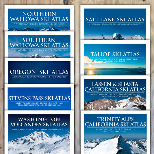
SaleEntire Collection
Regular price $230.00Regular priceUnit price / per$291.00Sale price $230.00Sale -
Salt Lake Ski Atlas
Regular price $45.00Regular priceUnit price / per$45.00Sale price $45.00 -
Salt Lake Ski Atlas Online Map
Regular price $18.00Regular priceUnit price / per$18.00Sale price $18.00 -
Washington Volcanoes Ski Atlas
Regular price $39.00Regular priceUnit price / per$45.00Sale price $39.00Sale
Not ready to buy yet? Add your email below so we can stay in touch.
Or email me at info@alpenglowpublishingstudio.com with any questions.
